Professor Jere Daniell’s Insights, Navigation Acts, Culpepper, and New Hampshire Heroes

Jere Daniell is a legend in the Upper Valley as an unbeliveable resource regarding many things- he is encyclopedic in his knowledge of Colonial America. Pip enjoyed a lunch with Jere yesterday and got schooled! Part of our interest was in the Navigation Acts.Yes, 60 of them designed to tax Americans for their intra colonial trade in goods and services.

The Navigation Acts-  1650-1696

The Navigation Acts were passed by the English Parliament in the seventeenth century. The Acts were originally aimed at excluding the Dutch from the profits made by English trade. The mercantilist theory behind the Navigation Acts assumed that world trade was fixed and the colonies existed for the parent country. http://thenagain.info/webchron/usa/navigation.html

Back to The Colonial Era Chronology

Navigation ActsThe Navigation Acts of 1660 and 1696 restricted American trade in the following ways;

1. Only British ships could transport imported and exported goods from the colonies.
2. The only people who were allowed to trade with the colonies had to be British citizens.
3. Commodities such as sugar, tobacco, and cotton wool which were produced in the colonies could be exported only to British ports.

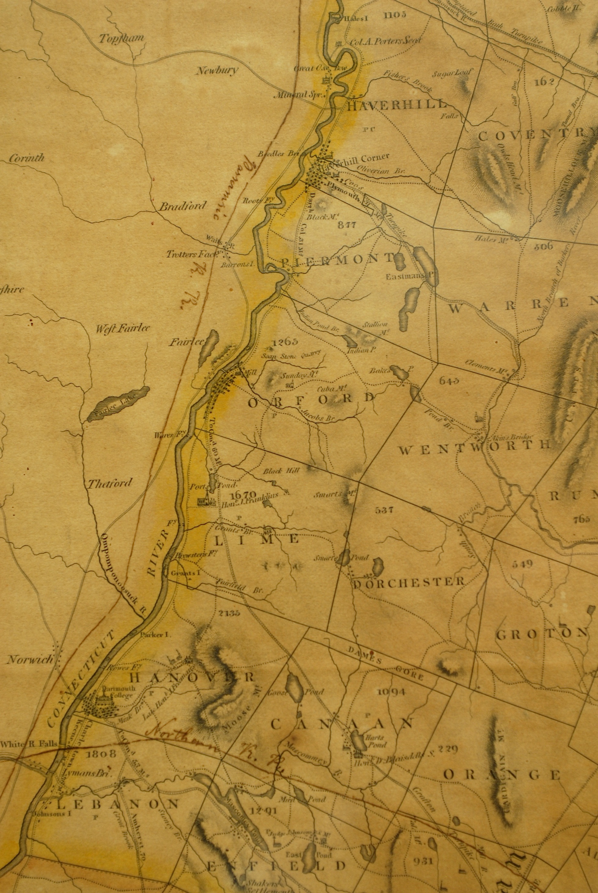
But also part of our shared interest was in the Culpepper Rebellion of 1677 in North Carolina. An early hero of the American Revolution….

Culpeper’s Rebellion (1677-79), was an early popular uprising against proprietary rule in the Albemarle section of northern Carolina, caused by the efforts of the proprietary government to enforce the British Navigation Acts. These trade laws denied the colonists a free market outside England and placed heavy duties on commodities.The colonists’ resentment found an object in the deputy governor, Thomas Miller, who was also customs collector. Led by John Culpeper and George Durant, the rebels imprisoned Miller and other officials, convened a legislature of their own, chose Culpeper governor, and for two years capably exercised all powers and duties of government. Culpeper was finally removed by the proprietors and tried for treason and embezzlement but was never punished.

Books About New Hampshire

Table of Contents        Title Index

bridge The New Hampshire State Library first published Books About New Hampshire in 1946. Updated editions were published in 1955, 1962, 1965 and 1969. In 1979 the New Hampshire Department of Education published New Hampshireiana: Books of New Hampshire 1969-1979. This brochure continued the work begun by the State Library in 1946. Entries in New Hampshireiana were obtained from the “New Hampshire Books” column in each issue of Granite State Libraries. This column, by Eleanor O’Donnell of the State Library, showcases new books about New Hampshire or by New Hampshire authors. The column is still being published in Granite State Libraries.

This publication incorporates most of the information in the earlier Books About New Hampshire and New Hampshireiana plus the “New Hampshire Books” column through mid 1999. In editing and organizing the material, I have purposely excluded certain types of books. Listed below are the types of books generally NOT included in this bibliography:

General histories of New Hampshire
Town histories
Genealogies
Travel guides
Regimental histories
Books about New England
Local cookbooks
Government documents

Do not consider this guide to be a comprehensive bibliography of all books about New Hampshire. However, it should be helpful to people interested in New Hampshire literature.

Books About New Hampshire
Compiled by Donna V. Gilbreth
Revised & Enlarged
1999

New Hampshire State Library
20 Park Street
Concord, NH 03301
November 2000

Early History of Orford NH and Bulfinch Farm

Bulfinch Farm, 81 Strawberry Hill Road, Orford New Hampshire

(Provenance: aka Strawberry Hill and previously as the Abel Sawyer House)

 Property Founding History and Provenance:

Early History: In December 1760, following the end of the French and Indian War, a number of the inhabitants of Hampton NH met to petition Governor Benning Wentworth” to form a township on the East Side of the Connecticut River at a place called ‘Sugar River.[1]’” Their petition was favorably received and the original proprietors (now numbering 63) received in October 1761 a Township Charter from King George the Third. Along with a significant number of township charters granted, New Hampshire charter number 7 was assigned to a six mile square tract along the Connecticut River, the Orford Charter in tribute to a companion town in England. (See Exhibit A)

The first proprietors or owners were entrepreneurial risk takers who promoted the settlements and helped to bring friends and neighbors up the Connecticut Valley. After the Governor granted himself 500 acres, and the proprietors laid out 50 acre “river lots” and later added 25 acres of upland pasture to themselves as detailed in the 1762 Proprietors’ Plan.[2]

Exhibit A: 1818 Carrigan Region Map

 Image

Sawyer Family Arrival: The original settlers of Orford were Thomas Sawyer and his two sons who traveled 250 miles on horseback from Hebron Connecticut in the summer of 1765 to begin land clearing. Hebron neighbors, John Mann and his 18 year old new bride Lydia, followed later in the fall to become the first permanent settlers when they arrived October 24, 1765 and sheltered in the Sawyer built cabin. In June of 1766, Thomas Sawyer, his wife Hephzibah, a daughter by the same name and seven sons returned to Orford. The father of the underappreciated steamboat inventor (Samuel Morey), Israel Morey arrived with his family in January 1767. The new Orford settlers benefitted greatly from their reliance on long standing Native American trails that had been used for trading, farming and hunting.

 One core Indian trail called “The Great Road” led from Charleston to Haverhill, and was later called the Dartmouth College Highway, now Route 10 through Hanover, Lyme and into Orford.[3] Orford Historical Society expert Carl Schmidt notes that “150 years ago, there were many more roads in Orford than there are today.”[4] However, road building on post glacial New Hampshire was very difficult yet many of the early settlers lived into their nineties![5]

Image

Thomas Sawyer and his five boys were strong and dependable log cutters as require to fell 200 foot pine trees, many of which the King’s surveyors attempted to impound for British Navy masts.[6] (See Exhibit B- Tall Pines)

Image 


 Sawyer Road now Strawberry Hill Road: Each of Thomas’s five boys were given land by their father. The eldest, Edward, built the first of many Sawyer homes in 1770 on what was known as Sawyer Road, halfway between Orford and Orfordville, as he had married an Orfordville girl named Hannah Strong in 1771.[7] The New Hampshire State Archives in Concord retain the oldest known roadmap of Orford from 1805 which reveals that the road connecting these two towns (now Route 25a) was a Native American travel route linking the Baker and Merrimack River valleys in the east to the Connecticut River valley in the west.[8] A secondary road also used by the Indians for east-west travel was Sawyer Road which passed northwest below Indian Pond.[9] (See Exhibit C)

 Exhibit D: Grafton County Map Shows East West Access

 Image


But in 1788, Edward sold half his lot to each of his brothers, Abel and John. John had graduated from Dartmouth College in 1785- the same year his father died[10]– and then became Orford’s minister in 1787.  John became very familiar with many personalities in Hanover and Boston, including architect Asher Benjamin who worked at the Bulfinch neo-classical and Federal building design firm. Abel had married Mary Strong, Hannah’s sister, in 1789 after he had completed construction of the original ell the year before. With the first bridge built across the Connecticut River at Orford in 1802, the chartering of the Grafton River Corporation by the state legislature in 1804, and the establishment of the northern terminus of the Grafton Turnpike (toll road) in 1806, Orford suddenly was a minor gateway to the west. Today’s Route 10 coupled with  Rt 25a represented the best road providing a natural gap between the mountains in order to cross the state. By 1830, Orford’s population was 1,896, nearly twice its current number.

Exhibit E: 1800s Bring “Go West” Turnpike Corporations – Orford’s Access

Image

Bulfinch Provenance: Abel’s expansion of the original 1788 ell started in 1806 when he dug a cellar and laid a granite foundation that is dated June 1806.[11] Two years later, the expansion was completed with a Bulfinch-style fanlighted front doorway and by 1810, at age 59, Abel divided his farm with his son, Jonathan Strong Sawyer. Abel continued to work the farm for many years and died in 1845 aged ninety-two.


[1] Conant, William R., Orford History, p. 19, August 25, 1915.

[2] Ibid, Conant, p. 16.

[3] Schmidt, Carl, “Exploring Orford’s Roads Less Traveled,” Orford Historical Society, October 4, 2009.

[4] Ibid, Schmidt, p.1.

[5] Conant, Louis, Report of the Bicentennial Celebration of the Town of Orford, New Hampshire, August 7 & 8, 1965, p.58.

[6] Hodgson, Alice Doan. Thanks to the Past. The Story of Orford, New Hampshire. Orford, NH, Historical Facts Publications, 1965, p. 182.


[7] Ibid, Doan, p. 180.

[8] Schmidt, Carl, “Exploring Orford’s Roads Less Traveled,” Orford Historical Society, October 4, 2009.

[9] Ibid, Schmidt.

[10] Hodgson, Alice Doan. Thanks to the Past. The Story of Orford, New Hampshire. Orford, NH, Historical Facts Publications, 1965, p. 182.

[11] Ibid, Doan, p. 187.